
Hurricane Kiko is weakening on a forecast path expected to take it north of Hawaii
Forecasters say Hurricane Kiko is weakening as it continues on a track forecast to take the storm north of the Hawaiian islands in coming days
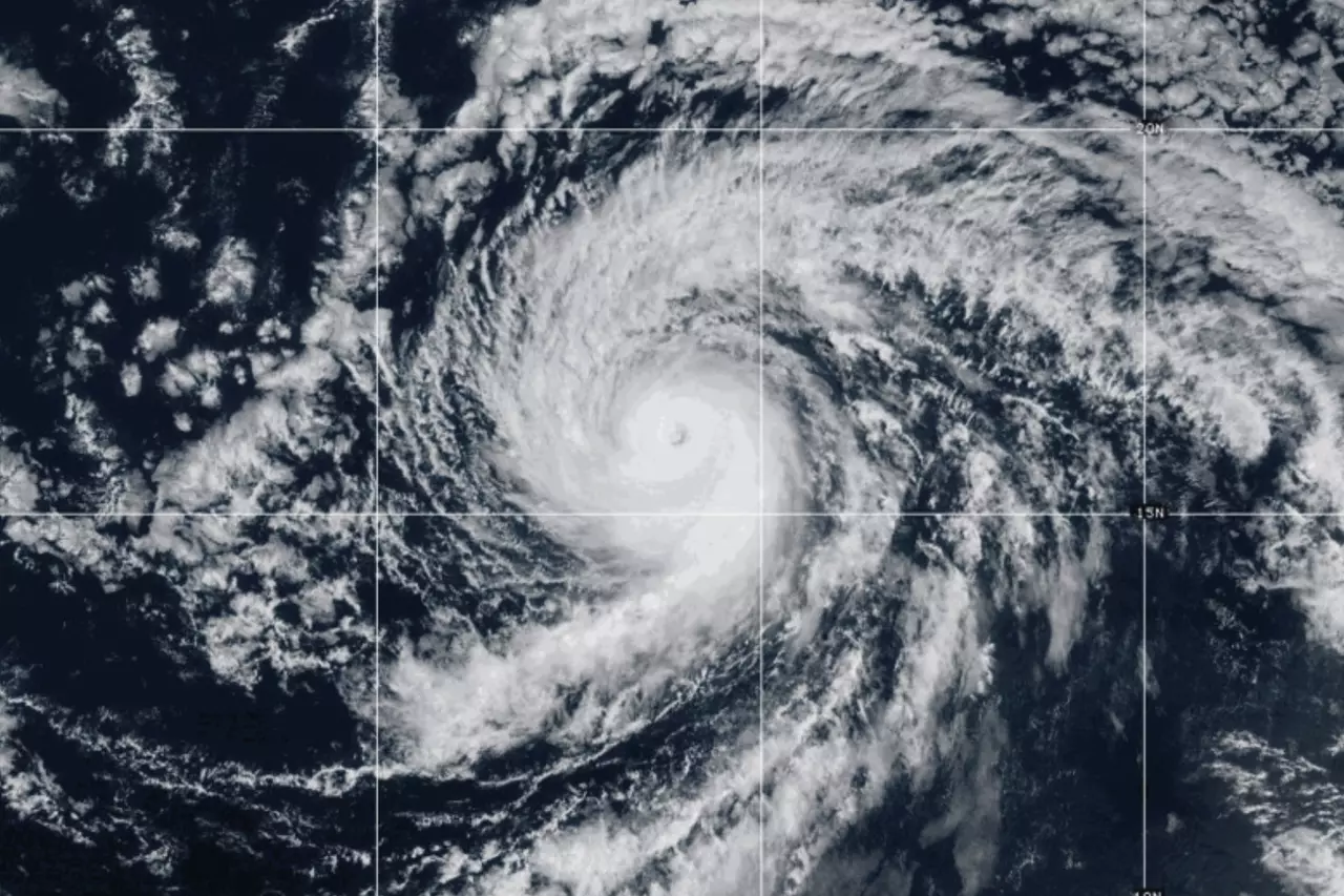
This GOES-West GeoColor satellite image taken Saturday, Sept. 6, 2025, at 2 p.m. EDT and provided by NOAA, shows Hurricane Kiko churning over open waters in the Pacific Ocean. (NOAA via AP)
HONOLULU (AP) — A weakening Hurricane Kiko is expected to track north of Hawaii in coming days, reducing the threat of strong winds and heavy rain on the islands but still bringing potentially dangerous surf conditions, forecasters said Sunday.
Kiko was about 635 miles (1,025 kilometers) east of Hilo on the Big Island on Sunday and was forecast to pass north of the islands Tuesday and Wednesday, the National Hurricane Center in Miami said. The hurricane was moving west-northwest at 13 mph (20 kph).
Maximum sustained winds stood at 110 mph (175 kph) Sunday, down from 120 mph (195 kph) on Saturday, with more weakening forecast in coming days as the storm moves over cooler waters.
No coastal watches or warnings were in effect for Hawaii. The hurricane center said the risks of direct impacts on the islands appeared to be decreasing but it urged people in the islands to continue monitoring the storm's progress.
Forecasters have warned of potentially life-threatening rip currents and surf along the islands' east-facing shores with waves expected to reach 10 to 15 feet (3 to 4.5 meters) in some places.